Views of the River
Views of the River
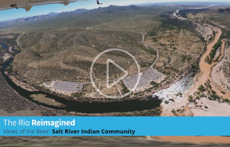
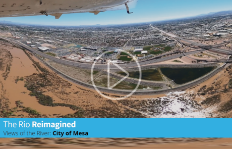
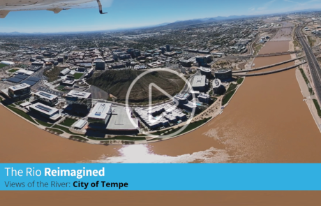
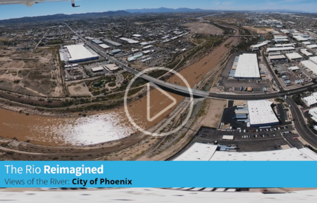
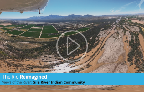
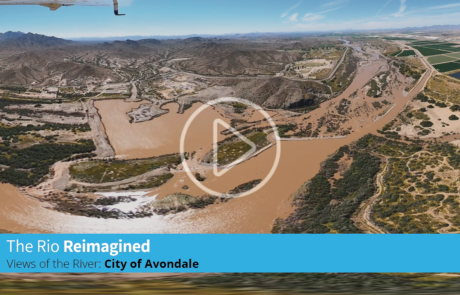
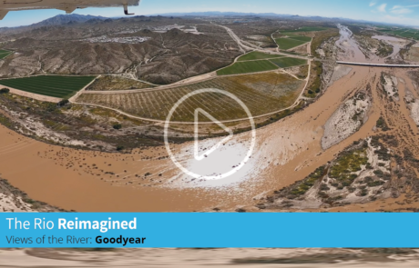
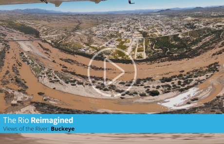
Aerial Views of the Salt and Gila River, March 27, 2023
Above is aerial footage of the Salt and Gila River corridor filmed on March 27, 2023 courtesy of Arizona State University’s University City Exchange. Video taken by Bryan Baker. Due to increased snow melt, the flows in the corridor have been higher than average requiring additional Salt River Project (SRP) water releases from upstream dams. As the snow melt continues additional releases may be necessary. For more information about the watershed and dam releases, visit the SRP website.
For more information about this footage please contact us via our Stay Informed form. Also be sure to subscribe to our “Stay Connected” email list below to receive news, updates, and partnership information.
Special feature:
Each video has 360 degree and virtual reality viewing capabilities through the YouTube app on your desktop or smartphone.
For additional usage instructions please visit Youtube’s VR instruction page here.
SALT RIVER PIMA-MARICOPA INDIAN COMMUNITY
CITY OF MESA
CITY OF TEMPE
CITY OF PHOENIX
GILA RIVER INDIAN RESERVATION
CITY OF AVONDALE
CITY OF GOODYEAR
CITY OF BUCKEYE
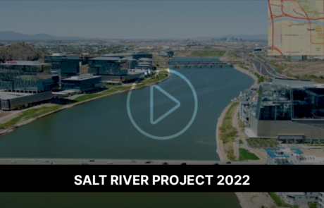
SRP Aerial Views 2022
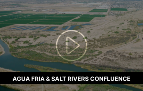
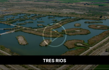
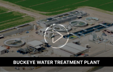
Below are approximate aerial views of tribal and municipal boundaries of the Salt and Gila River corridor showing the unusually high water levels of the river and the impact on different areas of the river corridor.
Rio Reimagined March 2022
Agua Fria & Salt Rivers Confluence
Tres Rios
Buckeye Water Treatment Plant
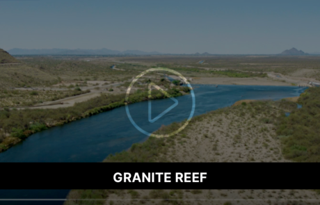
Granite Reef
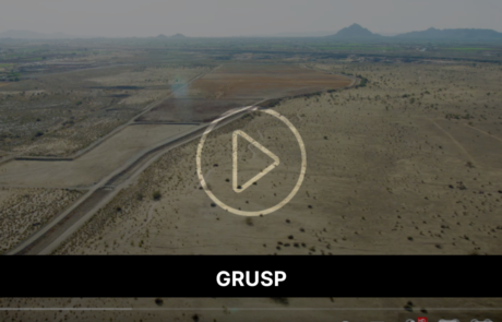
GRUSP
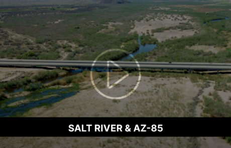
Salt River & AZ-85
Stay Informed
Sign up to receive news, updates, and Rio Reimagined Partnership meeting invites to keep informed about the initiative.
Stay Connected
Sign up to receive news, updates, and Rio Partnership meeting invites to keep informed about the initiative.
